 Free
Coastal Trail
Anchorage, across Cook Inlet
- Where
- Anchorage shore
- Best
- Clear days
- Effort
- Easy walk
Guides
Language
EnglishCurrency
US dollar · $Your currency applies on GetYourGuide too.
Guide · Viewpoints
Can you see Denali from Anchorage? On a clear day the mountain shows on the northern horizon across Cook Inlet. Here is where to stand in the city, where the views improve on the road north, and how often the sky cooperates.
Editorial team, denaliflightseeing.comUpdated October 25, 2026read in 6 minutes26 sources
The answer
Anchorage sits on the shore of Cook Inlet, and its best views north are along the water. Visit Anchorage describes the Tony Knowles Coastal Trail as overlooking Cook Inlet, with views of Mount Susitna and Denali on clear days as well as fine sunsets.1 That is the place to start.
The trail is long, so you do not need to walk all of it. Many people ride it as a 22-mile out-and-back trip from downtown by bike or e-bike, but the opening miles already give you open views over the water.5 Look past Mount Susitna, the long low mountain across the inlet, and scan the horizon to the north for a white mass far above everything else.
Once you know what to look for, it is unmistakable. Denali's South Peak rises to 20,310 feet, the highest point in North America, so it stands out even at a great distance.6 On a hazy day it may look like a cloud bank; on a crisp clear morning it seems to float above the horizon. Give your eyes a minute: the lower ridges in front often catch the light first, and the summit appears above them once you stop expecting a mountain and start looking higher in the sky than feels natural.
Heading north
Anchorage
Views of Mount Susitna and Denali on clear days.1
By train
Watch for Denali above the Susitna River.7
Mile 135.2
The roadside stop in Denali State Park.3
Park entrance
The road sits too low.4
Park road
The first point that may show the mountain.8
The honest answer to the question is that the mountain is often hidden, wherever you stand. NPS explains that mountains make their own weather, with sudden showers in some valleys while others stay dry or sunny.9 A blue sky over Anchorage does not guarantee a clear summit far to the north.
NPS also notes that clear skies are common in deep winter, when intense cold locks up moisture, but summer skies are often cloudy.10 If you travel in summer, plan for cloud: on many days the range shows only in part, or not at all.
Inside the park, NPS quotes veteran bus drivers who say only one in three days offers glimpses of the mountain.2 That figure comes from the park road, not from Anchorage, but it is a useful reminder: plan for several chances, and count a clear view as luck, never a given. It also means that a cloudy first day is no reason to give up. Clouds over the range can lift within hours, and the trip north offers new viewpoints at almost every stage of the journey.
Viewpoints compared
| Place | How to get there | Note |
|---|---|---|
| Coastal Trail, Anchorage | On foot or by bike | Clear days only |
| Train south of Talkeetna | Denali Star | Late morning northbound |
| Denali Viewpoint South | Parks Highway, Mile 135.2 | Roadside stop |
| Mountain Vista, park road | Private car or shuttle | Short accessible trail |
| Primrose Ridge, park road | Park bus | On every bus trip |
Sources: Visit Anchorage, the Alaska Railroad, Alaska State Parks and NPS.1731112
Three ways to see it
FreeAnchorage, across Cook Inlet
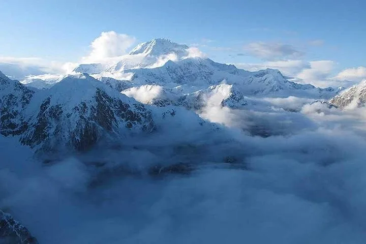 Roadside
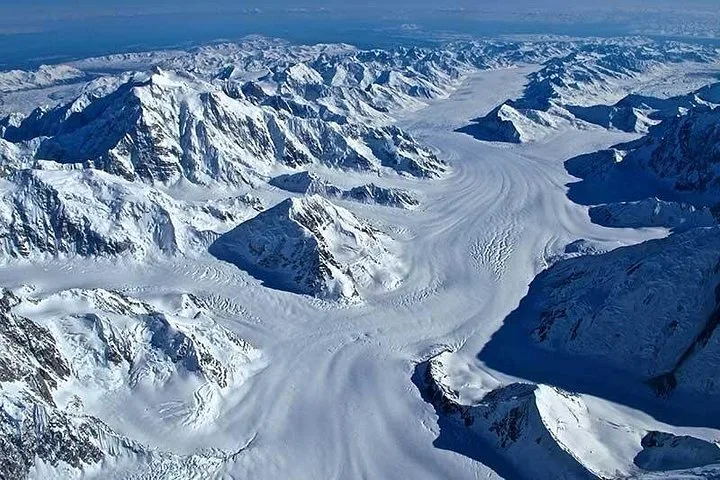 Up close
From Talkeetna into the range
Decision helper
Choose by time and budget
Overlooking Cook Inlet, take in breathtaking views of Mount Susitna and Denali on clear days as well as stunning sunsets.
The closer you get, the bigger the mountain becomes. Driving north on the George Parks Highway, Denali State Park lies about 100 air miles north of Anchorage, split roughly in half by the highway.14 Its Denali Viewpoint South, at Mile 135.2, is the classic roadside stop for a view of the range.3
From the train the views open earlier. The Alaska Railroad says that just south of Talkeetna, passengers can watch for Denali rising high above the Susitna River.7 The northbound Denali Star leaves Anchorage at 8:20 AM and reaches Talkeetna at 11:05 AM, so the best stretch comes in the late morning.15
Talkeetna itself, about 100 miles north of Anchorage, is a main base for flights into the range.16 On a clear day it pays to decide quickly there: if the mountain is out, ask about a flight for the same afternoon.
Map
Where the flights leave from, where the mountain stands, and how far the park entrance and the two big airports lie.
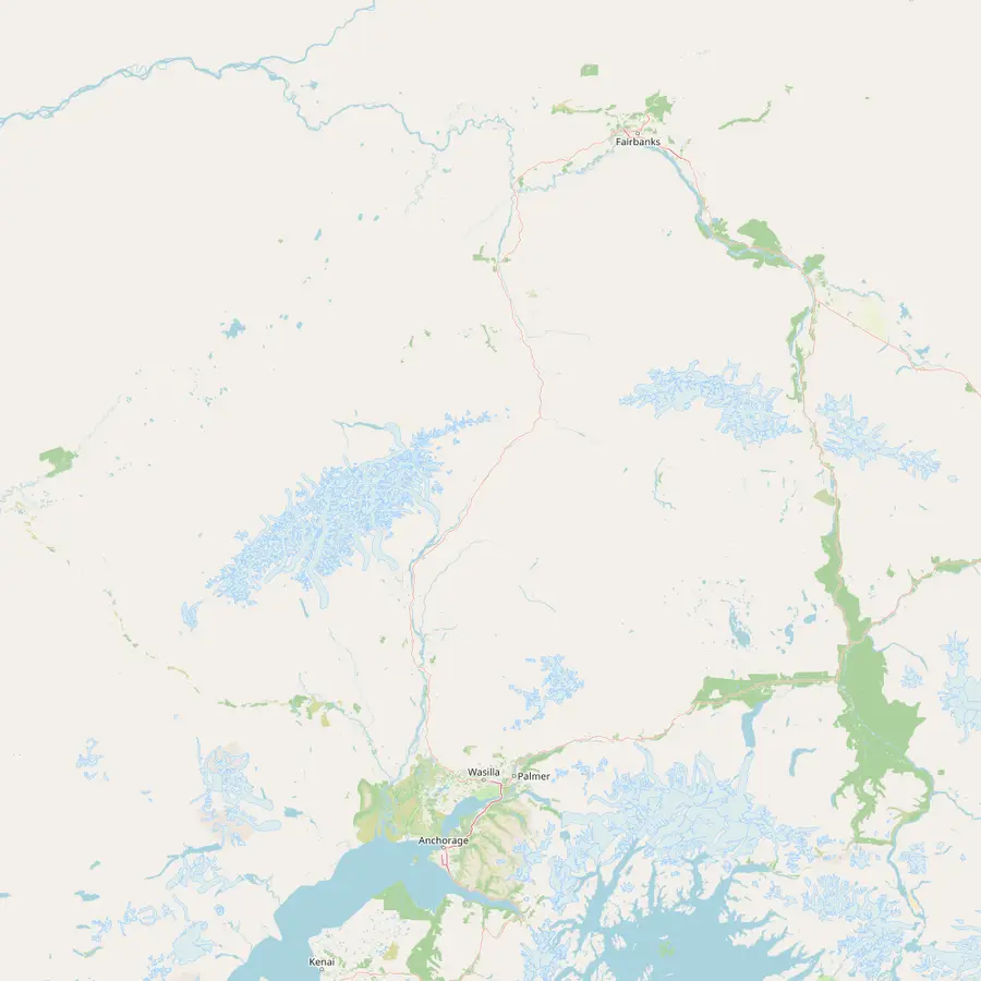 1Anchorage2Talkeetna3Denali4Park entrance5Fairbanks
The bigger of the two airports for a Denali trip (ANC); the Denali Star leaves here at 8:20 AM in summer.1715
In Google Maps ↗Denali's mountaineering headquarters, about 100 miles north of Anchorage; its airport sits at 358 feet.1618
In Google Maps ↗The South Peak, at 20,310 feet the highest point in North America.6
In Google Maps ↗Mile 237 of the George Parks Highway, 240 miles from Anchorage and 120 miles from Fairbanks.1920
In Google Maps ↗The northern airport for the park (FAI), and the end of the Denali Star line.1721
In Google Maps ↗Checklist
Cost calculator
Pick your number of travelers and compare flights.
Total from$1,172
from, per person $586
Check availabilityfree cancellationEach total takes the lowest starting fare a seller lists for that flight, times your number of guests, in your currency at European Central Bank rates; checkout on the seller page has the exact figure.
Video
No video data loads before you press play.
It comes as a surprise, but the mountain cannot be seen from the park entrance. NPS says the road there sits too low and is hemmed in by other mountains.4 The entrance itself lies 240 miles north of Anchorage.20
Along the park road, Mile 9 is the first place high enough, and at the right angle, to possibly see the mountain.8 From the parking area at Mountain Vista, Mile 13, a short accessible trail leads to a good viewpoint on clear days.11 Every bus trip passes a viewpoint on Primrose Ridge at Mile 17, and longer bus trips have another chance at Sable Pass, Mile 39.12
The famous view across Reflection Pond, just beyond Mile 85, is out of reach for now.13 Because of the Pretty Rocks Landslide, buses only travel as far as Mile 43.13 For most visitors today, that makes the far end of the park road unreachable, and a flight is the simplest way to see the mountain up close.
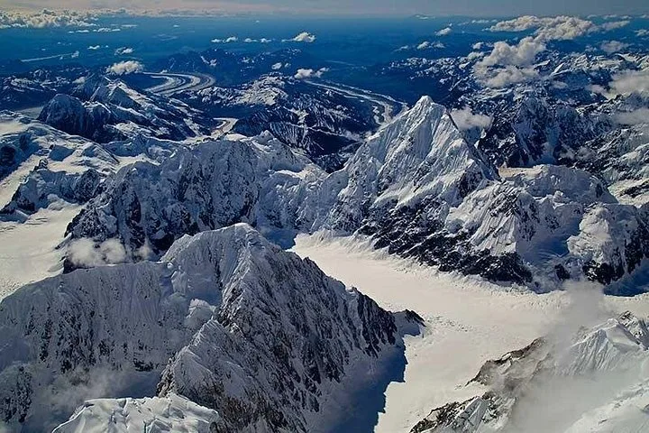
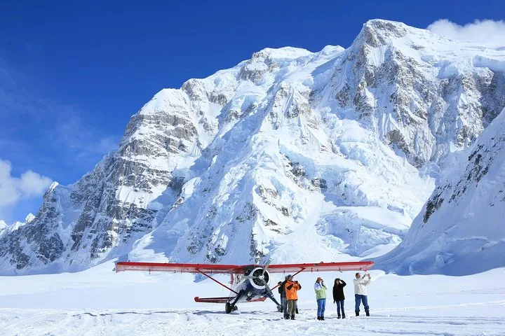
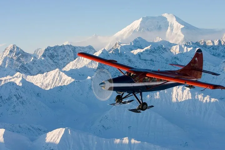
Seeing the mountain from Anchorage is a thrill; seeing it from the air is something else. A flight takes you past the foothills and into the range, where the glaciers and granite walls fill the window. NPS lists Anchorage, Talkeetna, Fairbanks and the Denali Park area as bases for air tours.22
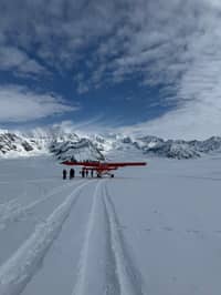
Many flights leave from Talkeetna. The booked Grand Denali flight follows the river systems of the Susitna valley, passes the Great Gorge of the Ruth Glacier and the Kahiltna Glacier, and crosses to the north side of the park. It lasts 1.5 hours, starts from $586 and carries up to 10 travelers.
A flight is not immune to clouds, and no listing can promise the summit. But pilots can climb above low cloud and work around showers, and the glaciers of the range are spectacular even when the top stays hidden. Pick a refundable listing and hold a day in reserve.
Check the sky early. Clear mornings are worth acting on: head to the Coastal Trail before breakfast, or start the drive north while the horizon is sharp. A clear sky over Anchorage is a good sign, even if it does not guarantee the summit.
Give yourself several days in the region. With only one in three days offering glimpses from the park road, a single day is a gamble, while several days spread across Anchorage, Talkeetna and the park give you several chances.2 Long summer days help too: in June the sun is above the horizon for 19.8 hours at mid-month in Talkeetna.23
Bring binoculars or a long lens if you have one. From Anchorage the mountain is small on the horizon, and a lens brings out the ridges and glaciers. From the Parks Highway and the park road, a lens helps you pick out the summit from the peaks in front of it. A small tripod or a rail to lean on keeps long shots sharp, and evening light, when the snow turns warm in color, is often the most rewarding time to wait on the shore with a camera ready.
You will hear the mountain called both Denali and Mount McKinley. NPS explains that the name Denali comes from deenaalee in the Koyukon language, spoken on the north side of the mountain.24
The official name has changed several times. It remained Mount McKinley until 2015, when the name Denali was restored, and in 2025 an executive order changed it back to Mount McKinley.25 The park kept the name it received in 1980: Denali National Park and Preserve.26
Whatever name you use, you will be understood in Alaska. And on a clear day from the Coastal Trail, you will see why the mountain needs little introduction.
Book your seat
Reserve the long loop, add a landing if you like, and cancel free up to a day ahead.
On clear days, from the shore. Visit Anchorage names the Coastal Trail above Cook Inlet as a place to see it.1
Less often than you hope. Park bus drivers say only one in three days offers glimpses from the park road.2
Often, yes. NPS says clear skies are common in deep winter and summer skies are often cloudy.10
No. NPS says the road there is too low and hemmed in by other mountains.4
Mile 9. It is the first point high enough to possibly see the mountain.8
Yes, Denali Viewpoint South. It sits at Mile 135.2, inside Denali State Park.3
A flight into the range. Many flights leave from Talkeetna, about 100 miles north of Anchorage.16
Sources
Keep reading